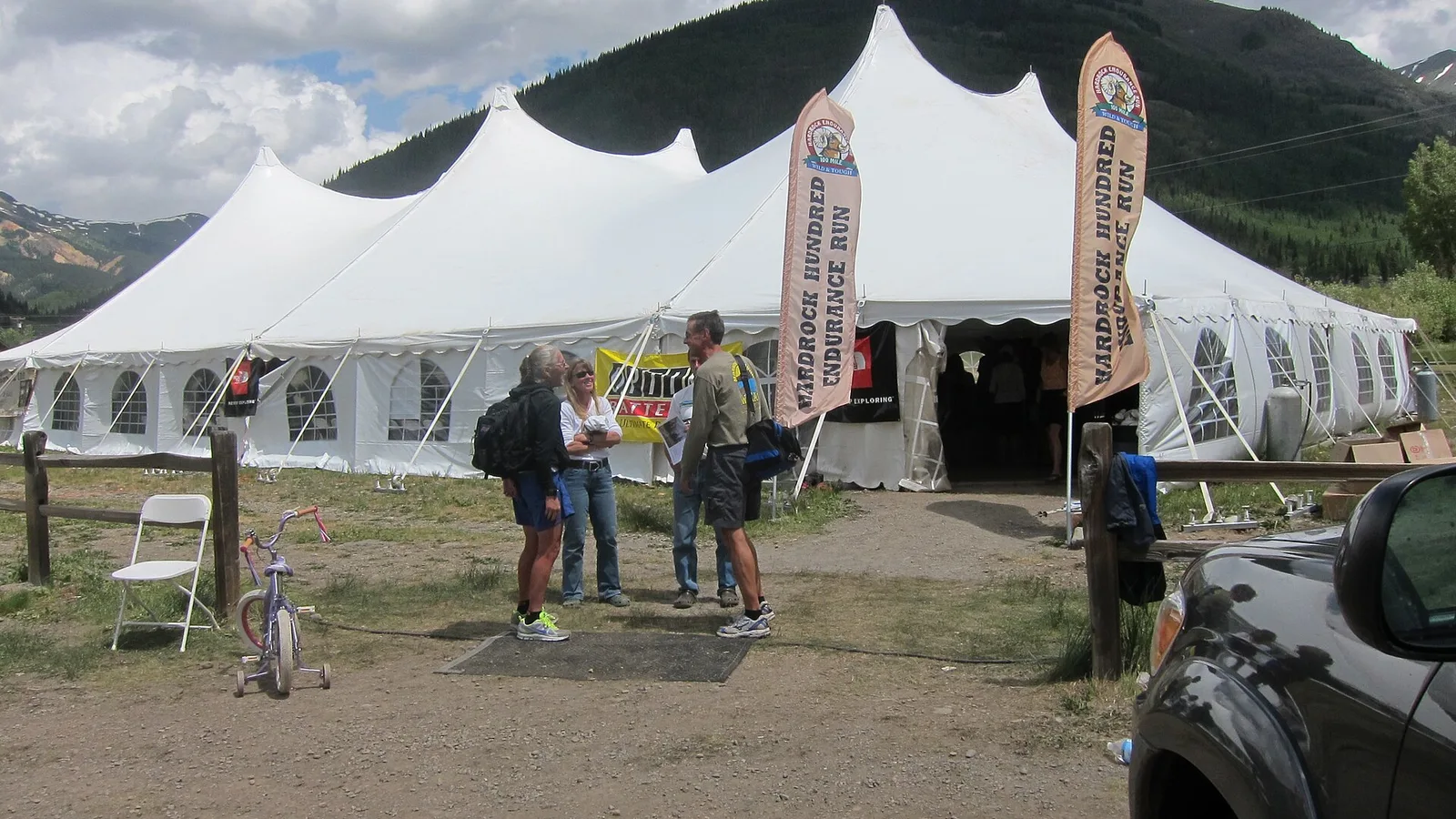
The Hardrock 100 2026 — clockwise page brings together published data for this running route.
The route is listed from Silverton, Colorado, États-Unis to Silverton, Colorado, États-Unis, with 159.1 km and 10,193 m D+ on the page.
Listed organiser: Hardrock Hundred Endurance Run.
Start / area
Silverton, Colorado, États-Unis
Finish
Silverton, Colorado, États-Unis
Edition
2026
Distance
159.1 km
Elevation gain
10,193 m D+
GPX track and calculated values
Calculated values for this track: 158.9 km of distance calculated from the GPX track · 10,384 m ascent calculated with Copernicus DEM GLO-30.
Distance follows the GPX geometry; ascent uses elevations derived from Copernicus DEM GLO-30. These calculations remain separate from the organiser's figures.
Source-page value: 163.8 km; distance calculated from the GPX: 158.9 km.
Source-page value: 10,193 m ascent; ascent calculated with Copernicus DEM GLO-30: 10,384 m.
Documented checkpoints and aid stations
Aid stations or life bases: 13 · listed water points: 0 · checkpoints: 13.
Cataract Putnam Pass · km 11.6
Porcupine Cataract Pass · km 13.8
KT · km 18.5 — Pas de crew. Pas de drop bags.
Grant Swamp Pass · km 24
Chapman Gulch · km 29.1 — Crew autorisé à pied uniquement depuis le parking désigné à Ophir.
Oscar’s Pass · km 34.3
Telluride · km 44.7
Kroger’s Canteen · km 52.6 — Pas de crew. Pas de drop bags.
Virginius Pass
Governors Basin · km 58.4 — Pas de crew. Pas de drop bags. Les crews ne doivent pas rejoindre le coureur sur Camp Bird Road / CR 26.
Ouray · km 70.7 — Départ des pacers autorisé. Point le plus bas de la Hardrock 100.
Engineer · km 83.5 — Station isolée : toutes les fournitures sont acheminées à pied. Pas de crew ni de drop bags.
Oh! Point · km 85.8
Grouse Gulch · km 93.7 — Échange de pacer autorisé. Accès 4WD recommandé ; parking limité.
American Grouse Pass · km 97.7
Handies Peak · km 102.2
Burrows Park · km 109.1 — Pas de crew ni de drop bags. Ne pas rejoindre ni assister le coureur sur Cinnamon Pass Road.
Sherman · km 115.9 — Échange de pacer autorisé. Les accès routiers peuvent nécessiter plusieurs heures aller-retour.
Cataract Pole Pass · km 124.2
Pole Creek · km 131.2 — Station isolée : toutes les fournitures sont acheminées à pied. Pas de crew ni de drop bags.
Maggie / Pole Pass · km 137.4
Maggie Gulch · km 139.2 — Pas de crew ni de drop bags. Échange de pacer uniquement à pied depuis CR-2.
Buffalo Boy Ridge · km 141.6
Green Mountain / Stony Pass Ridge · km 144
Cunningham Gulch · km 148.9 — Échange de pacer autorisé. Route d’accès très fréquentée : un véhicule par coureur, covoiturage recommandé.
Dives Little Giant Pass · km 152.4
Sources reviewed
Official sources: 4 · sources with a recorded review date: 4. Updates from the organiser always take precedence.
Latest recorded check: 16 September 2026.
Frequently asked questions
Is the Hardrock 100 2026 — clockwise GPX available?
Yes. The track and its profile can be viewed here, and the file is available as a free download from this page.
Do these details replace the organiser's instructions?
No. This page makes sources easier to consult and separates published data from GPX calculations. Check the latest official instructions before the start.