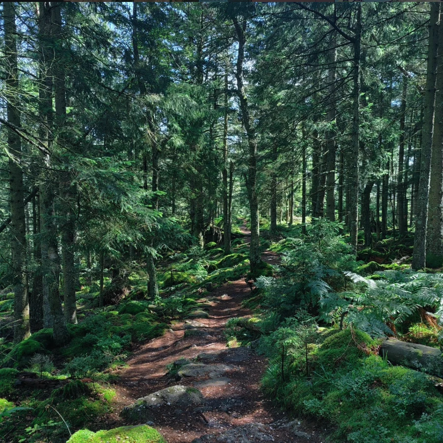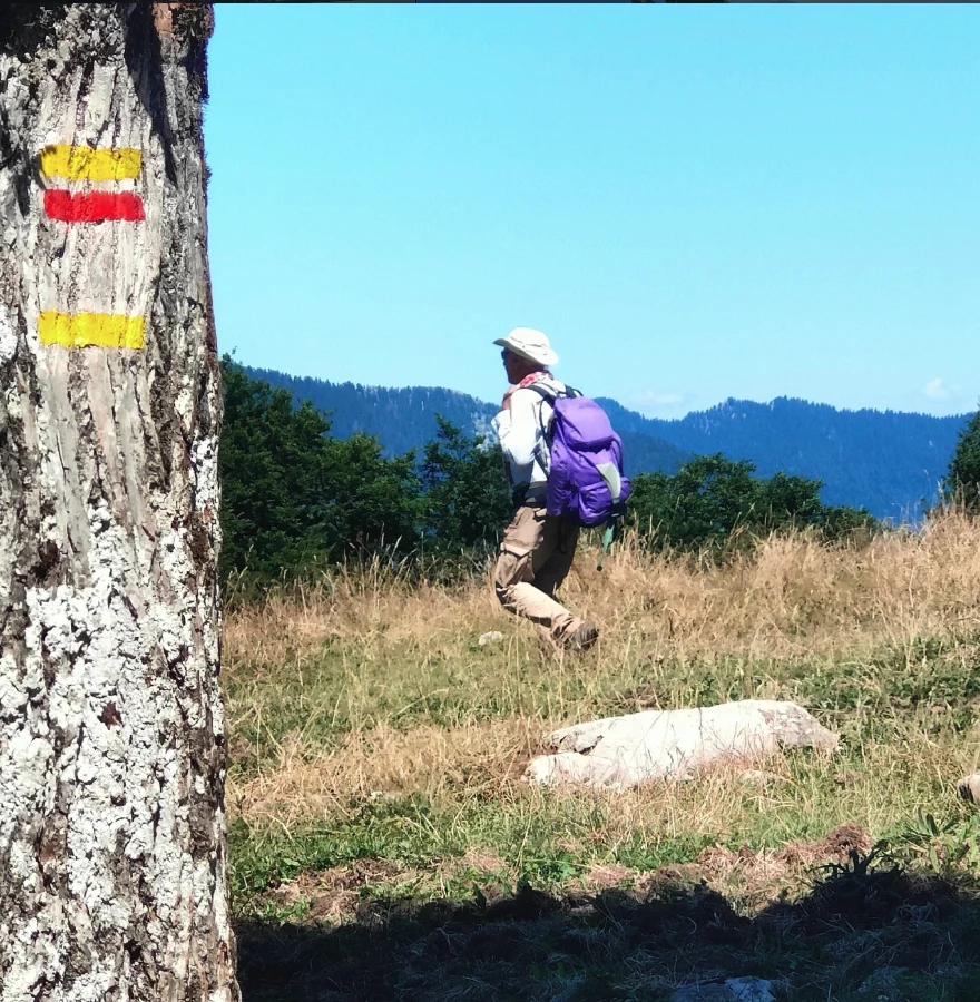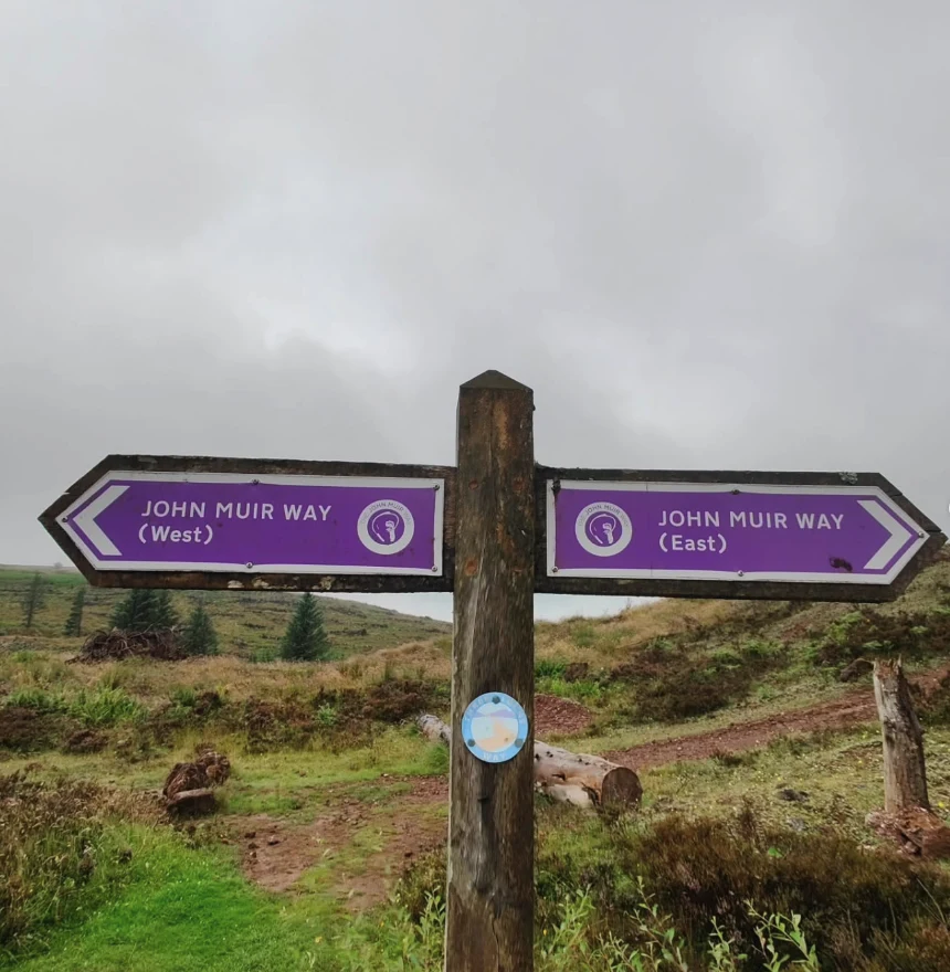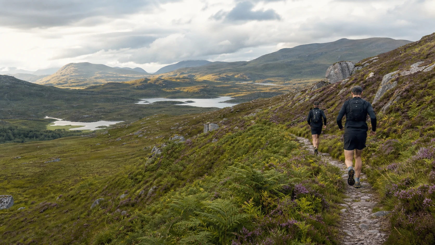
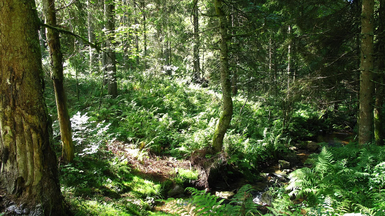
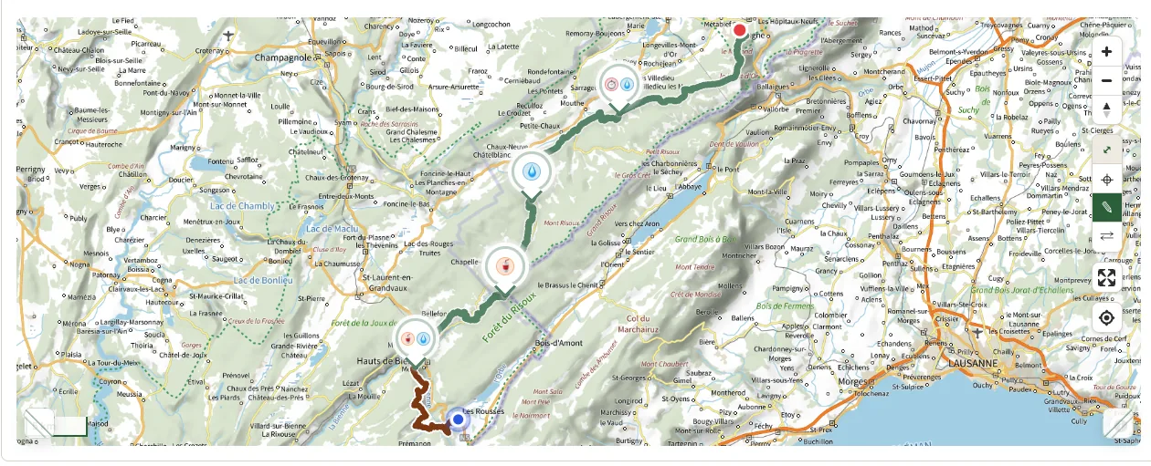
L'Infernal Trail des Vosges 2026
IT 130 2026
- Distance
- 132.4 km
- Elevation gain
- 6,101 m D+
Visual credit · Tangopaso · Public domain
 TRAILBOARD.
A few races to explore now, then the full catalogue to scroll through. Each page separates published information from GPX-derived metrics.
Explore the catalogueL'Infernal Trail des Vosges 2026
Visual credit · Tangopaso · Public domain
L'Infernal Trail des Vosges 2026
Visual credit · Tangopaso · Public domain
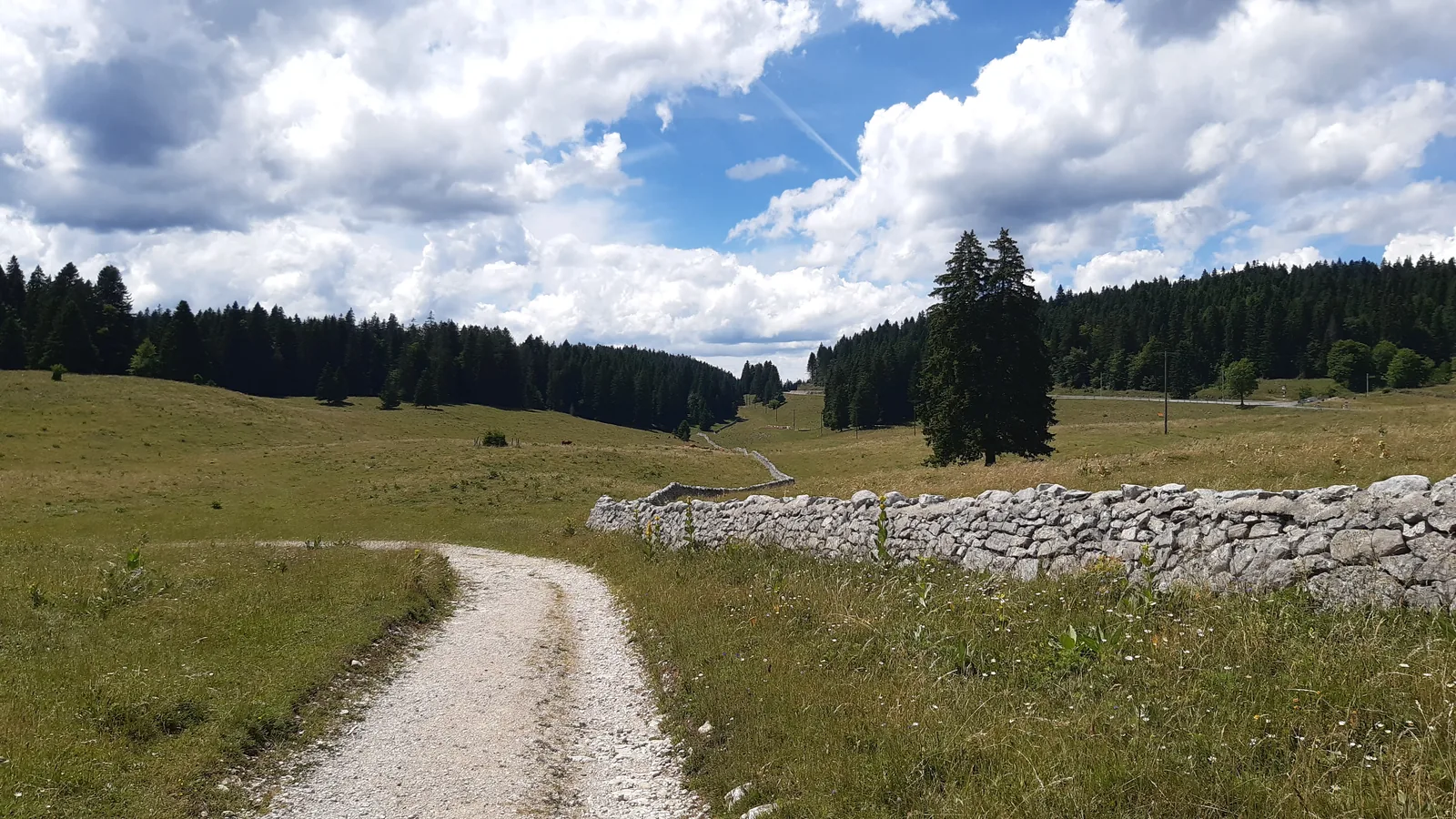
Ultra Trail des Montagnes du Jura 2026
Visual credit · Peter Sabol · CC BY-SA 4.0
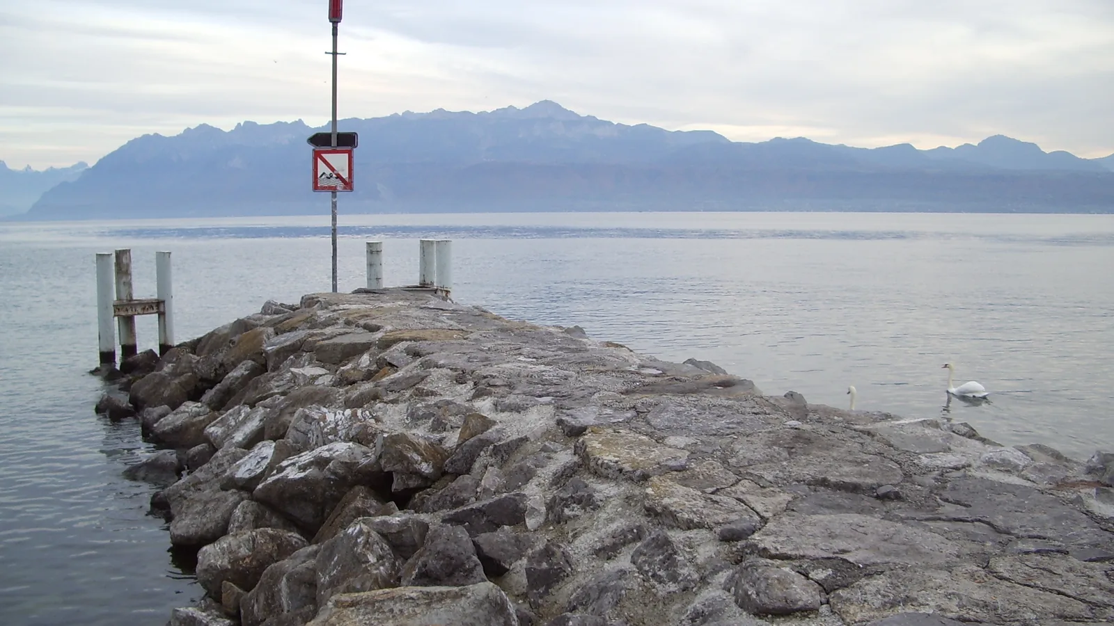
Lausanne Marathon 2026
Visual credit · jynus · CC BY 2.5
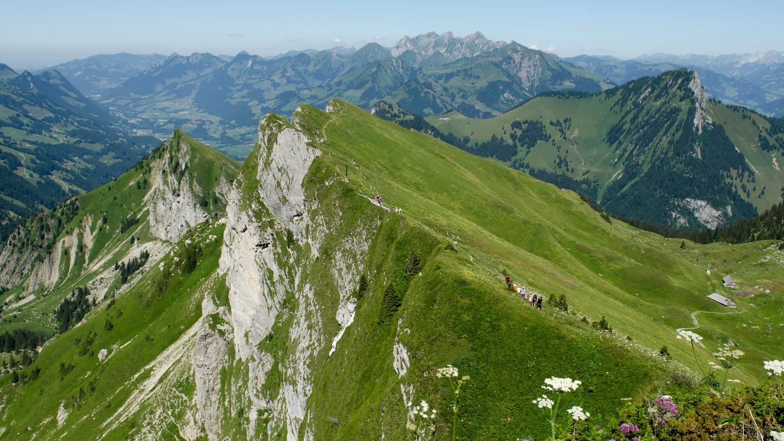
Montreux Trail Festival 2026
Visual credit · Gabriel Garcia Marengo · CC0 1.0
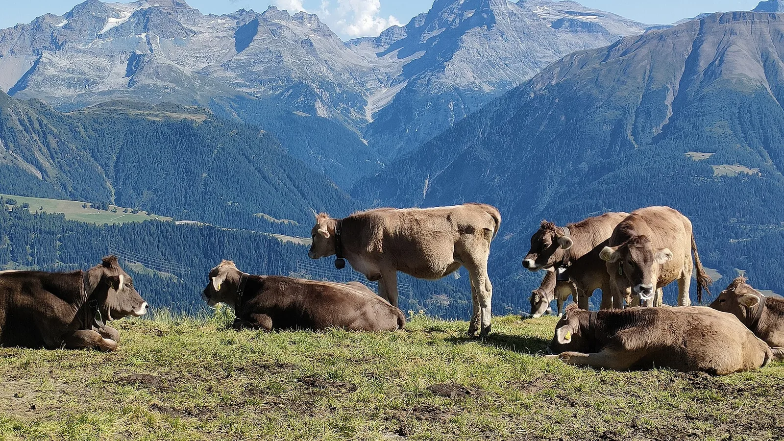
SwissPeaks Trail 2026
Visual credit · Matias Senger · CC BY-SA 4.0

Asics SaintéLyon 2026
Visual credit · ERdi43 · Public domain
Asics SaintéLyon 2026
Visual credit · ERdi43 · Public domain
Asics SaintéLyon 2026
Visual credit · ERdi43 · Public domain
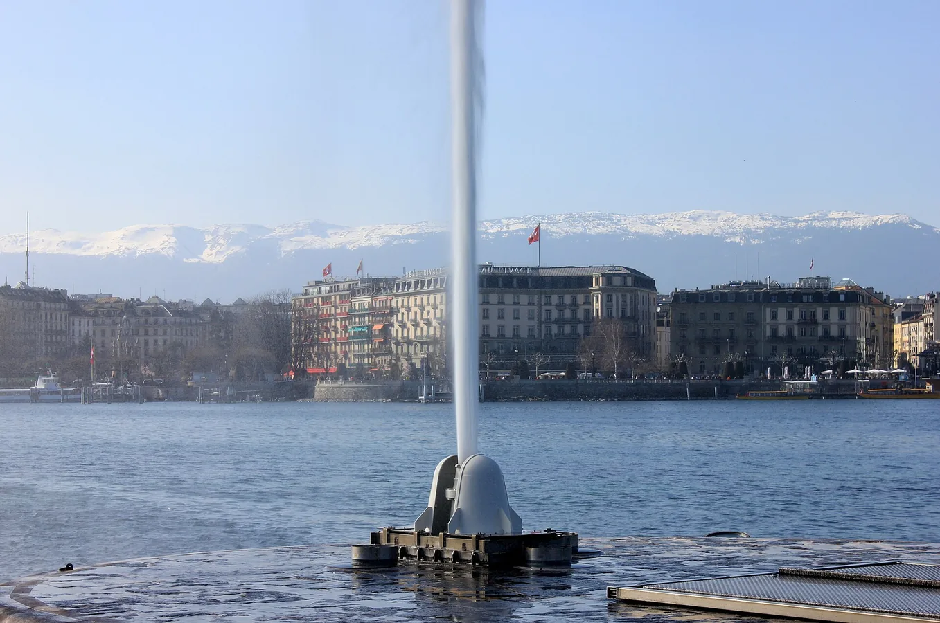
Balexert 20km de Genève 2026
Visual credit · Daniel CULSAN · CC BY-SA 4.0
L'Infernal Trail des Vosges 2026
Visual credit · Tangopaso · Public domain
L'Infernal Trail des Vosges 2026
Visual credit · Tangopaso · Public domain
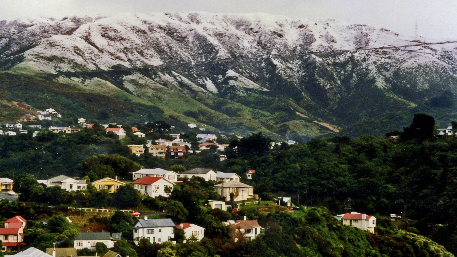
Faultline Ultra — Wellington
Visual credit · Phillip Capper · CC BY 2.0
Asics SaintéLyon 2026
Visual credit · ERdi43 · Public domain
Asics SaintéLyon 2026
Visual credit · ERdi43 · Public domain
SwissPeaks Trail 2026
Visual credit · Matias Senger · CC BY-SA 4.0
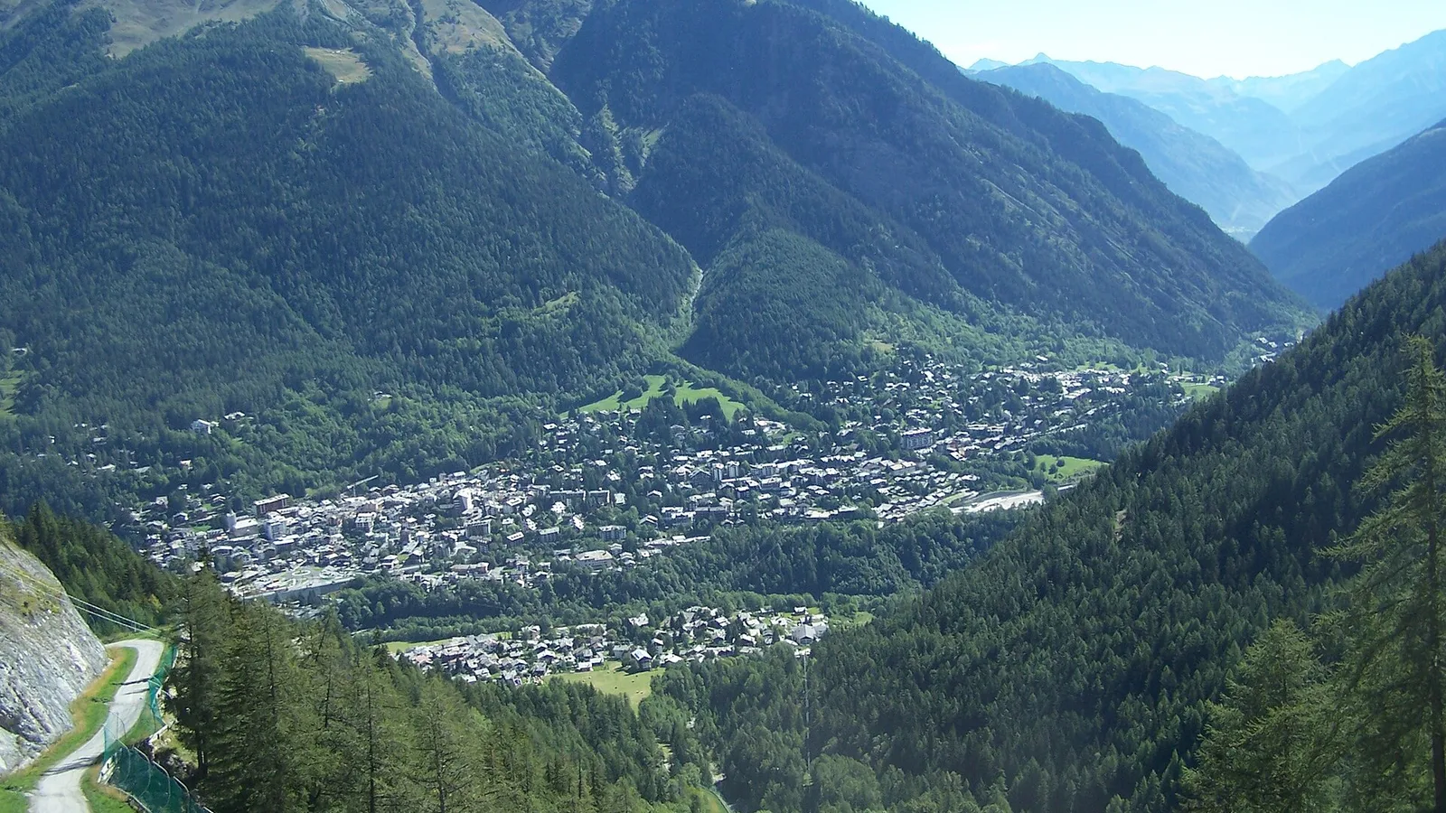
TORX® — Vallée d’Aoste
Visual credit · X-Weinzar · CC BY-SA 3.0

Grand Raid des Pyrénées 2026
Visual credit · Redfive · CC BY-SA 4.0
Ultra Trail des Montagnes du Jura 2026
Visual credit · Peter Sabol · CC BY-SA 4.0
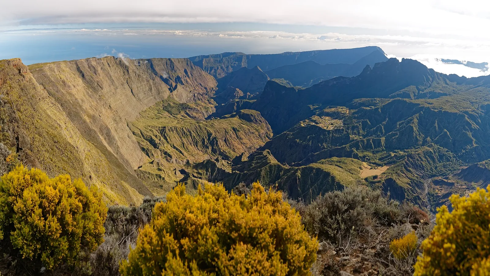
Grand Raid de La Réunion 2026
Visual credit · Sylvain JORIS · CC BY-SA 4.0
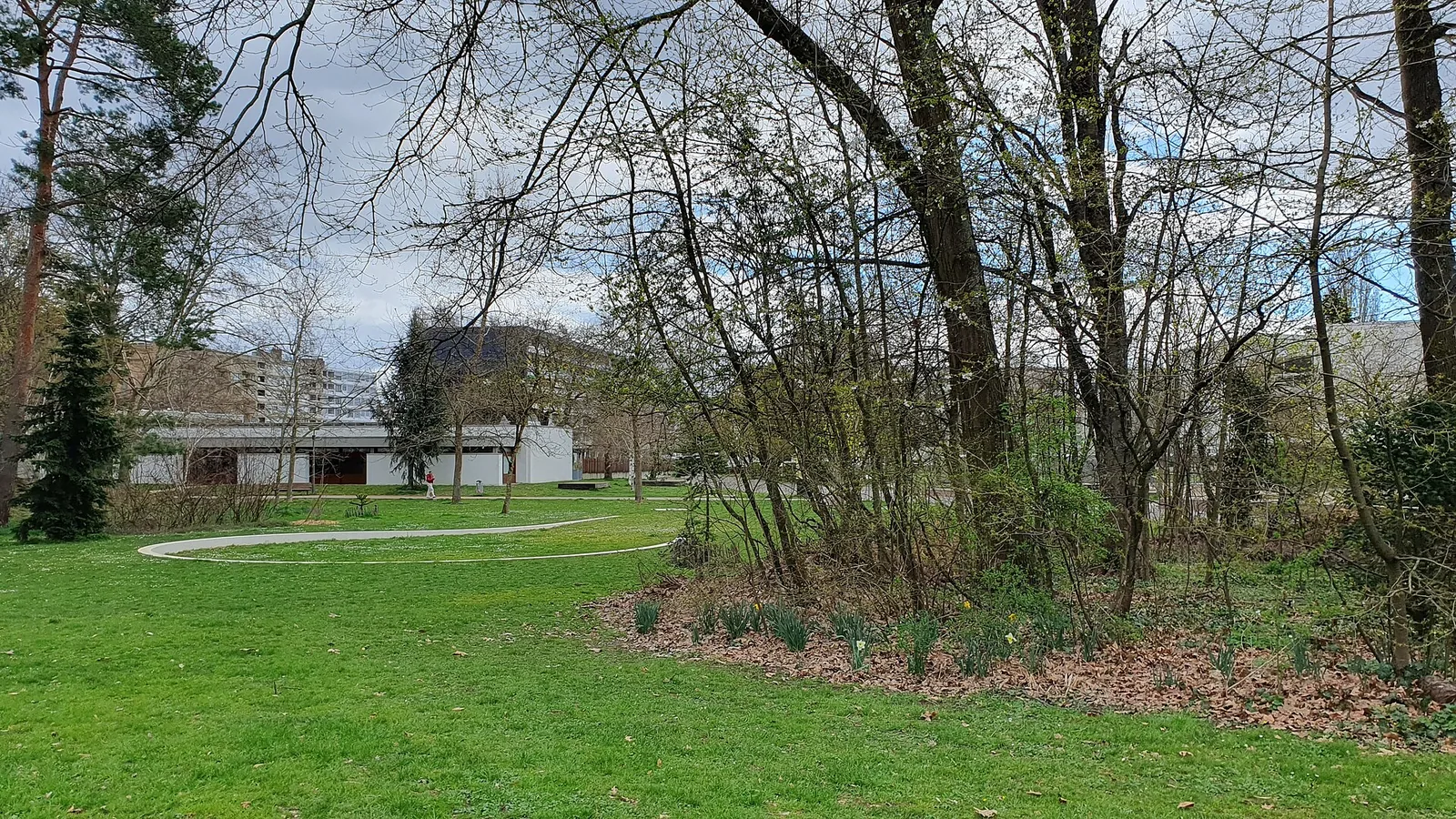
Meyrin Run 2026
Visual credit · Sinkra · CC BY-SA 4.0
Grand Raid de La Réunion 2026
Visual credit · Sylvain JORIS · CC BY-SA 4.0
Faultline Ultra — Wellington
Visual credit · Phillip Capper · CC BY 2.0
Faultline Ultra — Wellington
Visual credit · Phillip Capper · CC BY 2.0
Asics SaintéLyon 2026
Visual credit · ERdi43 · Public domain
L'Infernal Trail des Vosges 2026
Visual credit · Tangopaso · Public domain
Ultra Trail des Montagnes du Jura 2026
Visual credit · Peter Sabol · CC BY-SA 4.0
SwissPeaks Trail 2026
Visual credit · Matias Senger · CC BY-SA 4.0
Grand Raid des Pyrénées 2026
Visual credit · Redfive · CC BY-SA 4.0
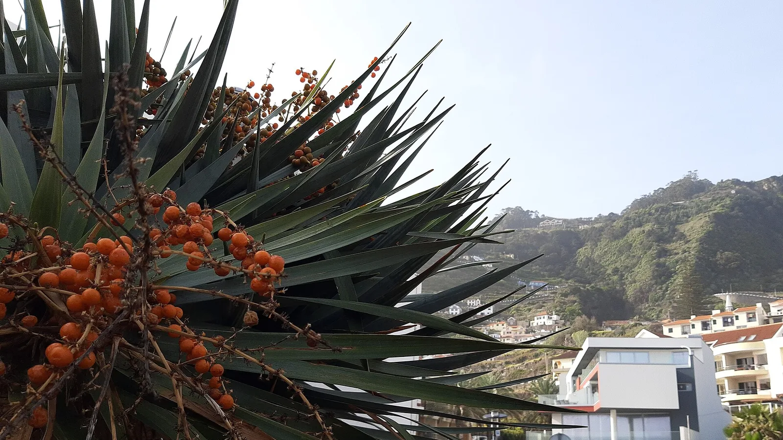
MIUT 2026
Visual credit · Gerda Arendt · CC BY-SA 4.0
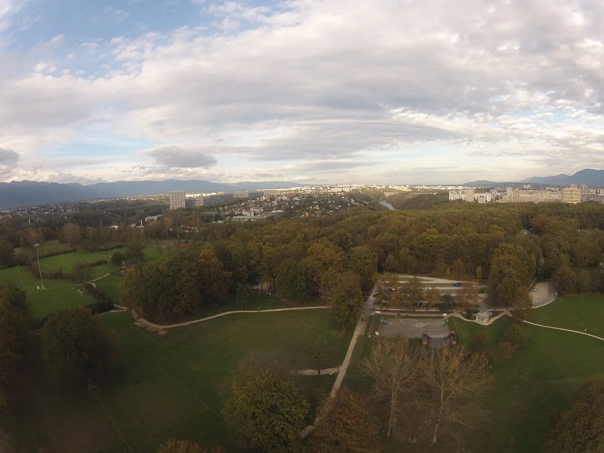
Trans’Onésienne 2026
Visual credit · Clément Bucco-Lechat · CC BY-SA 3.0
Grand Raid de La Réunion 2026
Visual credit · Sylvain JORIS · CC BY-SA 4.0
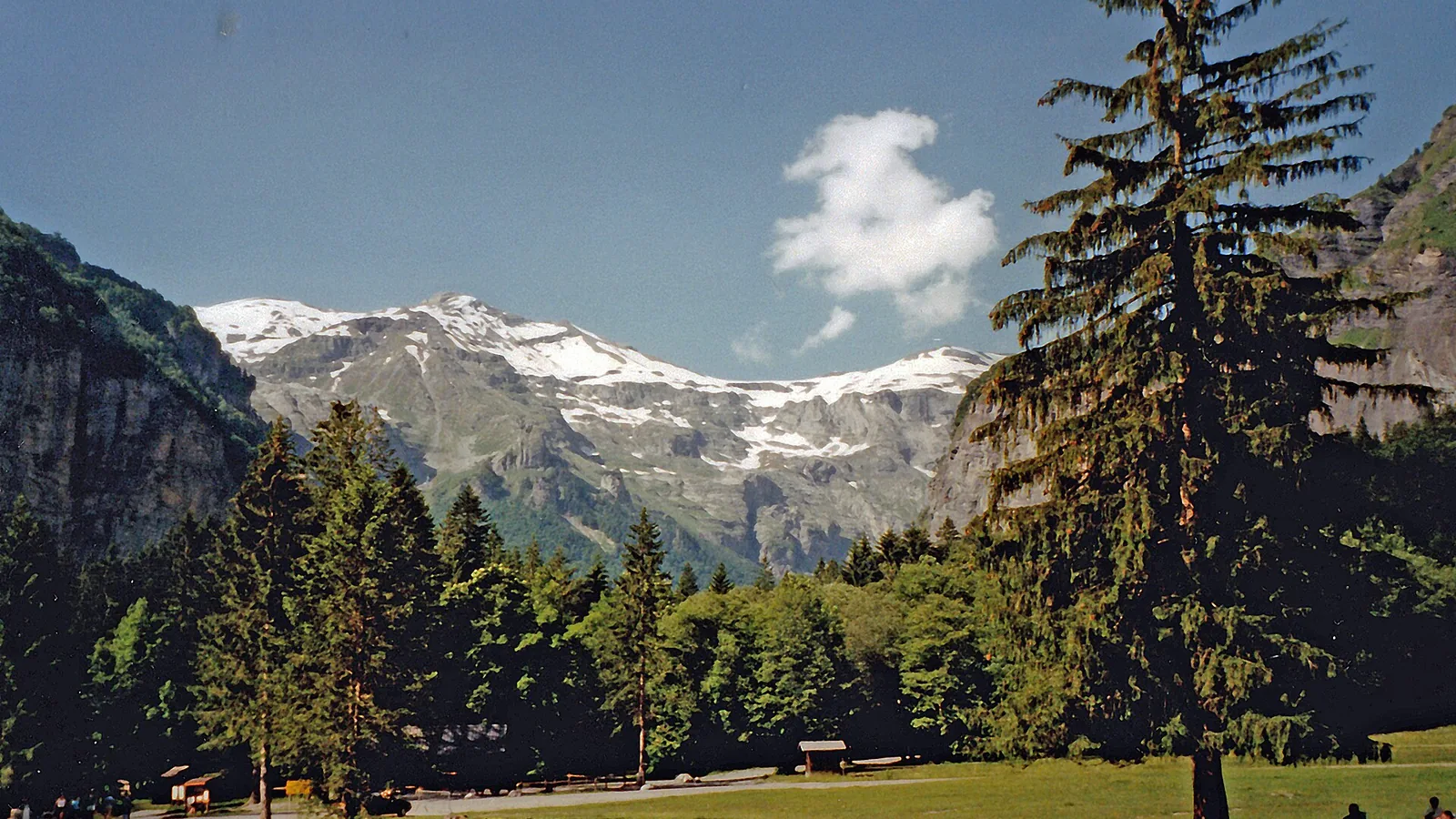
Ultra-Trail du Haut-Giffre 2026
Visual credit · SchiDD · CC BY-SA 4.0
Meyrin Run 2026
Visual credit · Sinkra · CC BY-SA 4.0
Asics SaintéLyon 2026
Visual credit · ERdi43 · Public domain

Ultra-Trail Mt. Fuji — FUJI
Visual credit · Kumiko Nakashima · CC BY-SA 3.0
Balexert 20km de Genève 2026
Visual credit · Daniel CULSAN · CC BY-SA 4.0
Ultra Trail des Montagnes du Jura 2026
Visual credit · Peter Sabol · CC BY-SA 4.0
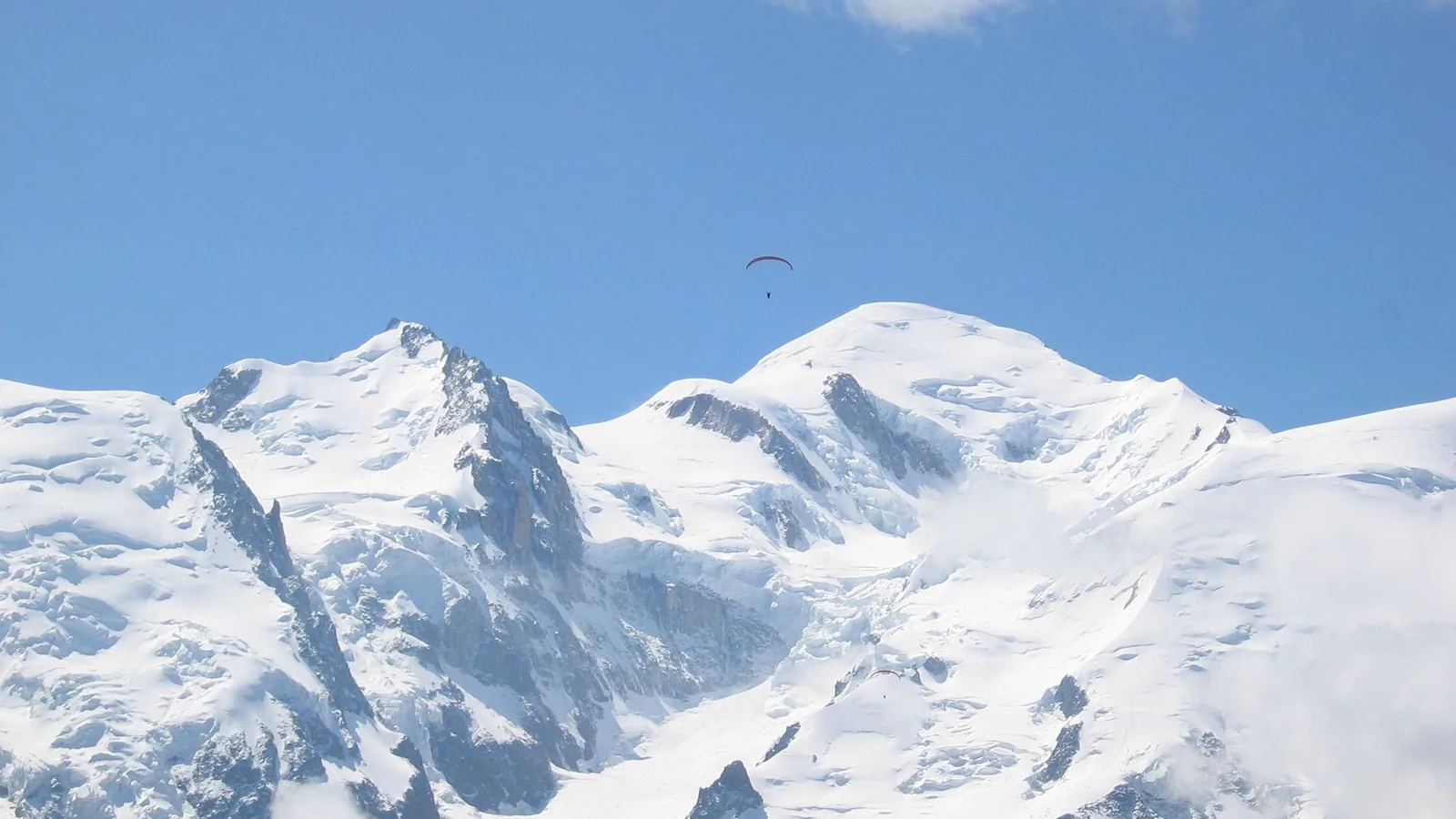
HOKA UTMB® Mont-Blanc 2026
Visual credit · C Nelson · CC BY-SA 4.0
Meyrin Run 2026
Visual credit · Sinkra · CC BY-SA 4.0
Asics SaintéLyon 2026
Visual credit · ERdi43 · Public domain
Asics SaintéLyon 2026
Visual credit · ERdi43 · Public domain
Grand Raid de La Réunion 2026
Visual credit · Sylvain JORIS · CC BY-SA 4.0
Ultra Trail des Montagnes du Jura 2026
Visual credit · Peter Sabol · CC BY-SA 4.0
Grand Raid de La Réunion 2026
Visual credit · Sylvain JORIS · CC BY-SA 4.0
Lausanne Marathon 2026
Visual credit · jynus · CC BY 2.5
SwissPeaks Trail 2026
Visual credit · Matias Senger · CC BY-SA 4.0
SwissPeaks Trail 2026
Visual credit · Matias Senger · CC BY-SA 4.0
01
Why Trailboard?
As distance changes, so do the questions. Trailboard connects terrain, training, passage times, nutrition and race kit to help you build a readable plan, without pretending to remove the uncertainty of the mountains.
01 / 03
Trail 40–100 km
As the distance grows, one underestimated climb or misplaced aid stop can change the day. Trailboard gives you a concrete view of the course before you get there.
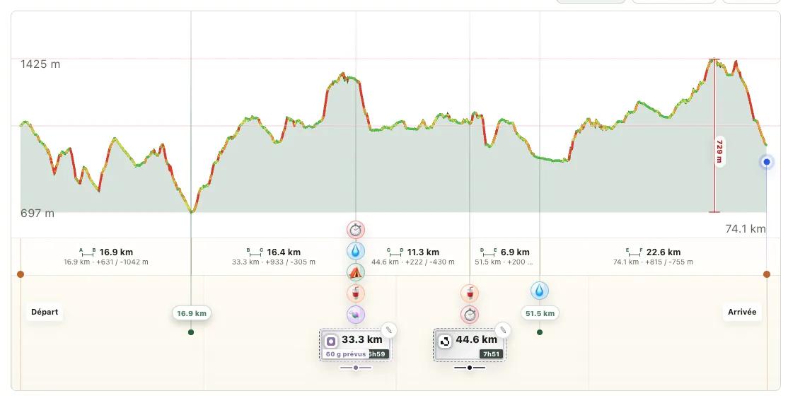
Read the elevation and key passages before the start.
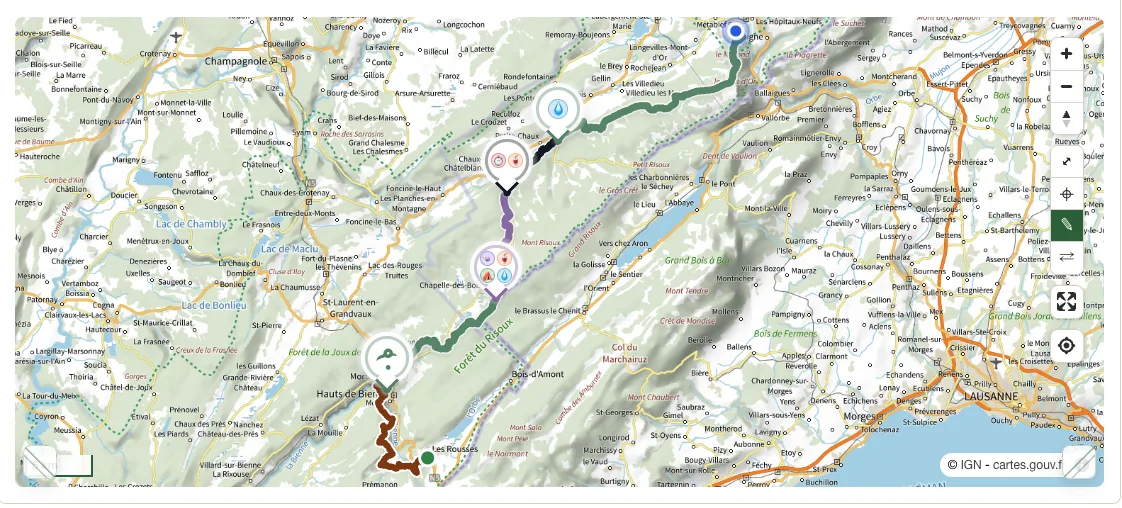
Spot the sections that can change the day.
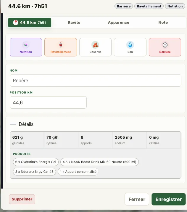
Add a useful marker at the right kilometer.
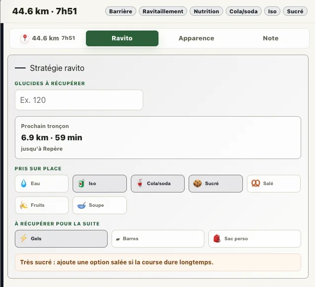
Decide what to take there and for the next section.
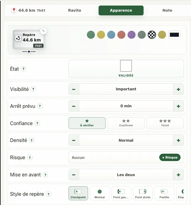
Make every decision readable at a glance.
A clear plan to live the adventure fully.
02 / 03
Ultra 100–200 km
Preparing for an ultra requires continuity: start from your current volume, progress, get stronger, repeat effort over two days and reduce load before the race. Trailboard builds that thread around your target event.
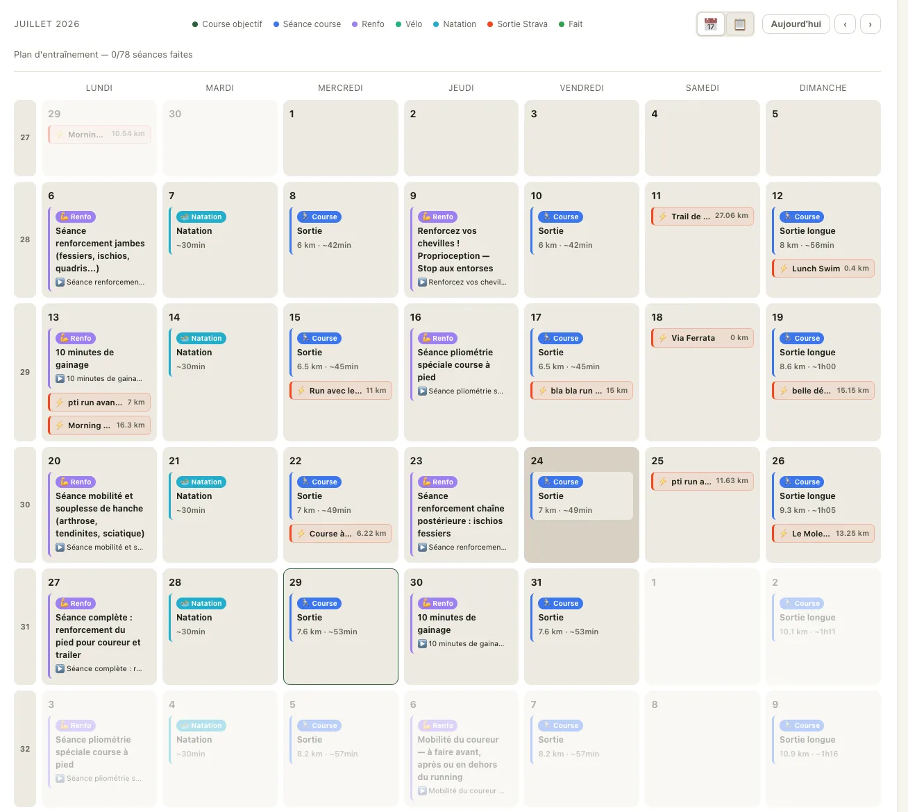
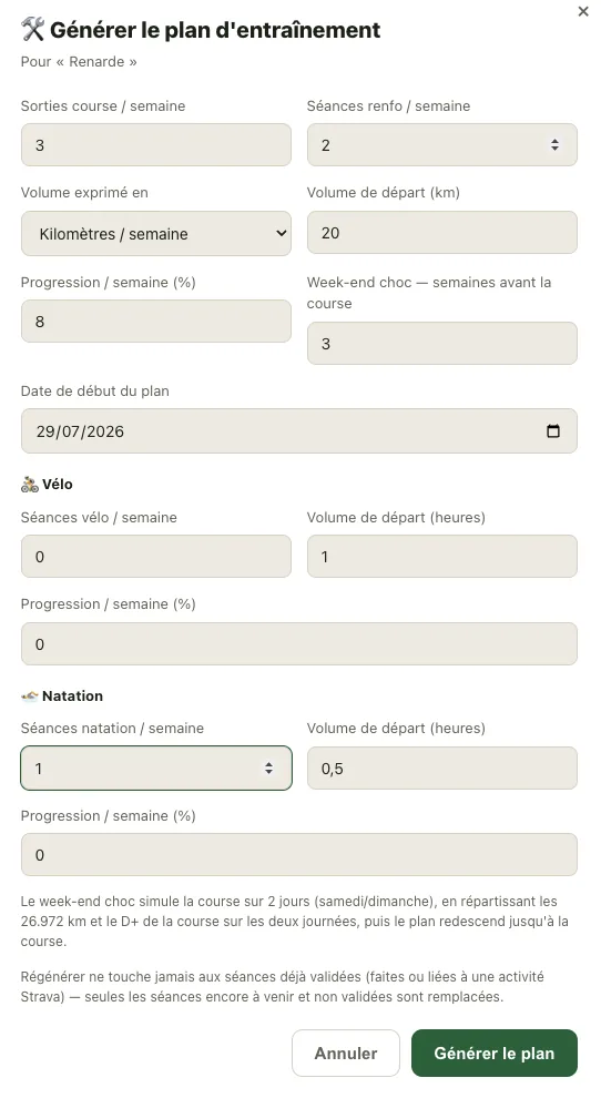
The ultra-trail programme
Set your weekly rhythm, starting volume and desired progression. Trailboard organises the weeks through to race day without freezing or erasing what you have already completed.
Choose the number of running and strength sessions per week.
Start from a realistic volume in kilometres or hours, with adjustable progression.
Add cycling and swimming when useful, each with its own frequency and progression.
Get long runs and rotating strength work: lower body, proprioception, core, plyometrics and mobility.
Schedule a two-day simulation based on the race characteristics, followed by a progressive taper.
Regenerate the future plan without removing completed sessions or sessions linked to an activity.
Paces and durations are reference points calculated from the available data. The plan remains editable and should be adjusted to your experience, recovery, constraints and any unusual pain.
03 / 03
Multi-day journey
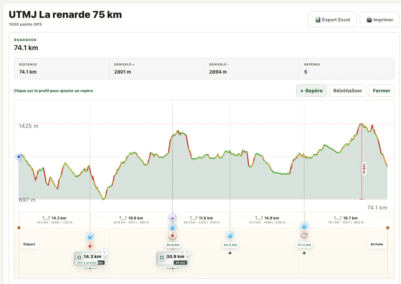
Over several days, success depends as much on the route as on water, stages and what you carry. Trailboard brings those choices into a roadbook you can review in the field.
One cockpit
Whatever your profile, Trailboard keeps the information attached to the same event instead of scattering it across a map, spreadsheet, calendar and notes.
The route remains the common source for reading elevation, placing markers and building a strategy.
Training, nutrition and equipment are prepared around a concrete goal, not in isolation.
You stay in control: estimates are explicit, items remain editable and Strava is optional.
Prepare what can be prepared, so there is more room for adventure.
Read the Trailboard story
Each slide pairs a real Trailboard screen with what you can build, decide or review in the app.
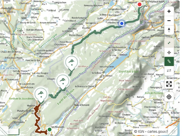
The route, passage times, aid stations and what you carry all belong to the same race. Trailboard connects them so you can see the key moments before you reach the trail.
Prepare for a 50K trail: method and progressionTrailboard starts from the real route, then helps you turn that trace into a strategy you can use to run, hike, fuel and decide.
Add the organizer’s route file or your own track to view the map, elevation profile and important sections.
Place markers, aid stations, water points and passage targets, then add the fuel you have already tested in training.
Export a race sheet that combines kilometers, elevation, timing, aid stations and fueling.
Connect estimated duration, aid stations and products already tested on long runs. Trailboard helps organize the strategy without turning an estimate into absolute truth.
Keep a fallback option if an aid station is missed or sweet foods stop working.
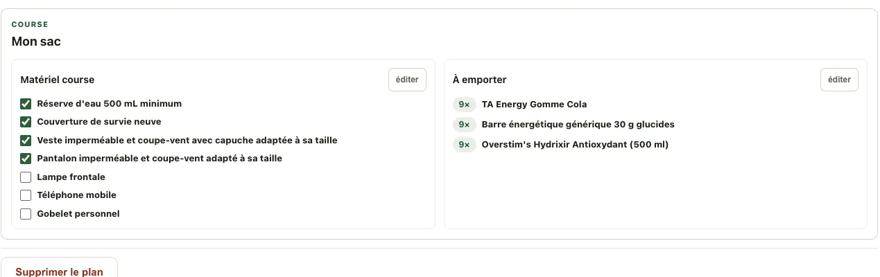
No more switching between map, spreadsheet, notes, screenshots and fueling calculations.
Long climbs, spaced-out aid stations, cutoffs and autonomy constraints stay visible.
The result is clear enough to review the night before, print or send to your support crew.
Dashboard, goals, trends and activity memories extend your follow-up without distracting from Trailboard’s main role: building the next adventure plan.
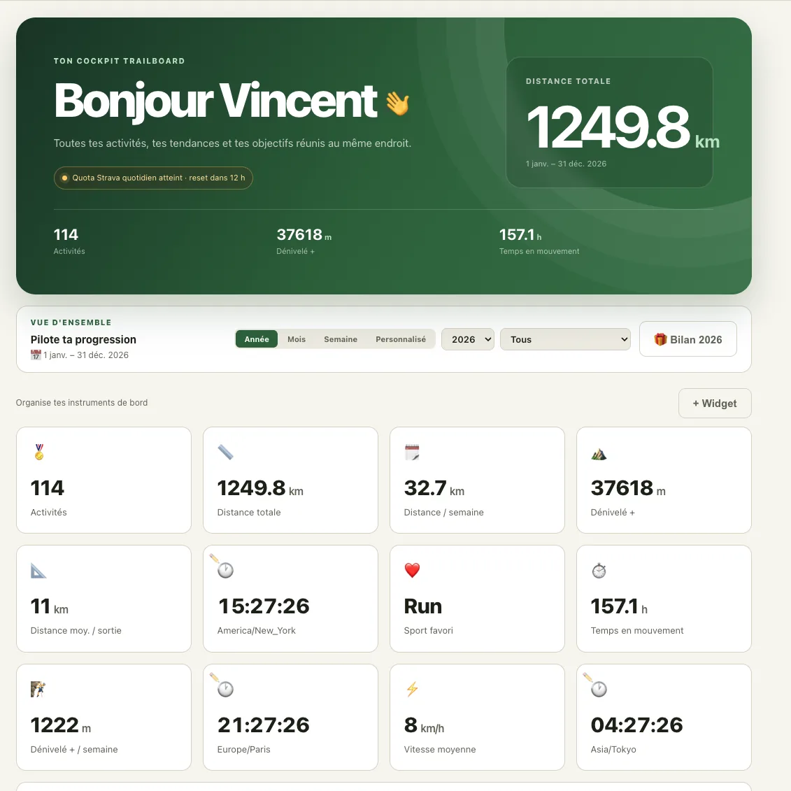
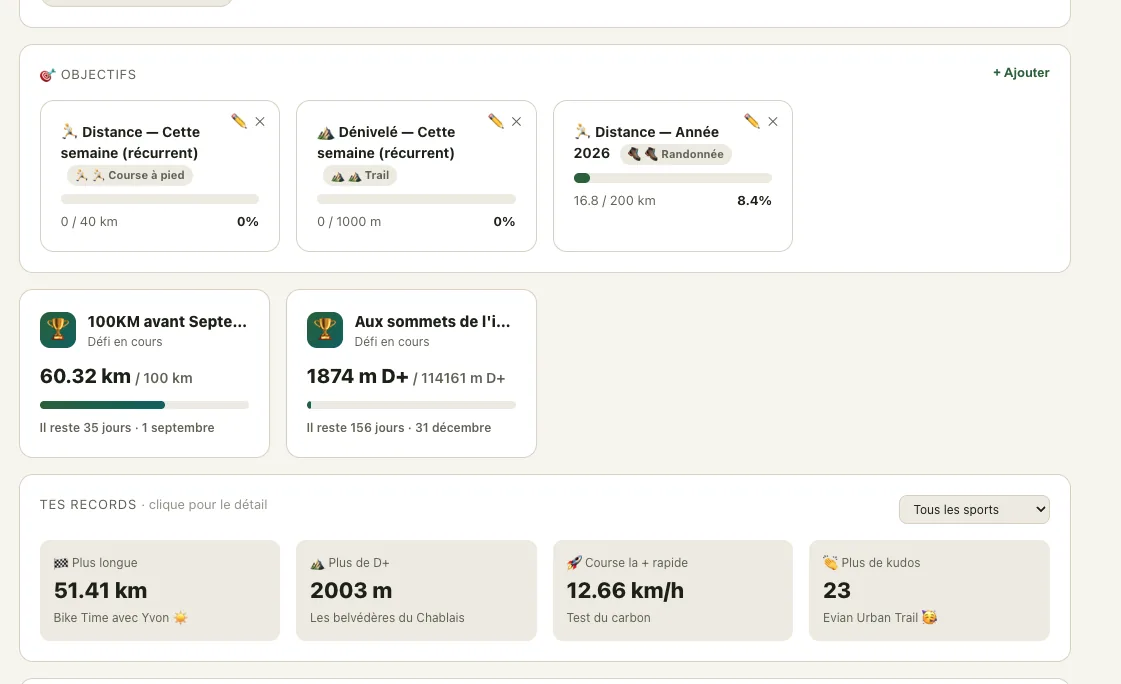
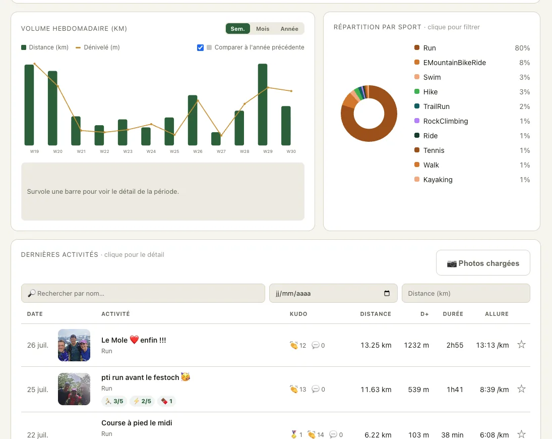
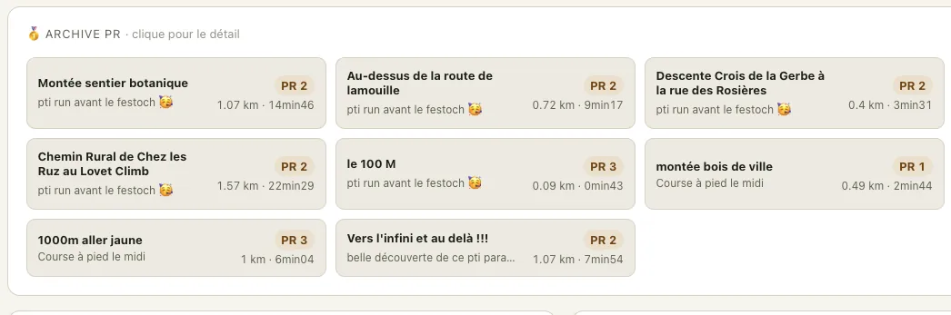
Photos, feelings, the route and activity data stay together in your private space so you can revisit what you actually experienced.
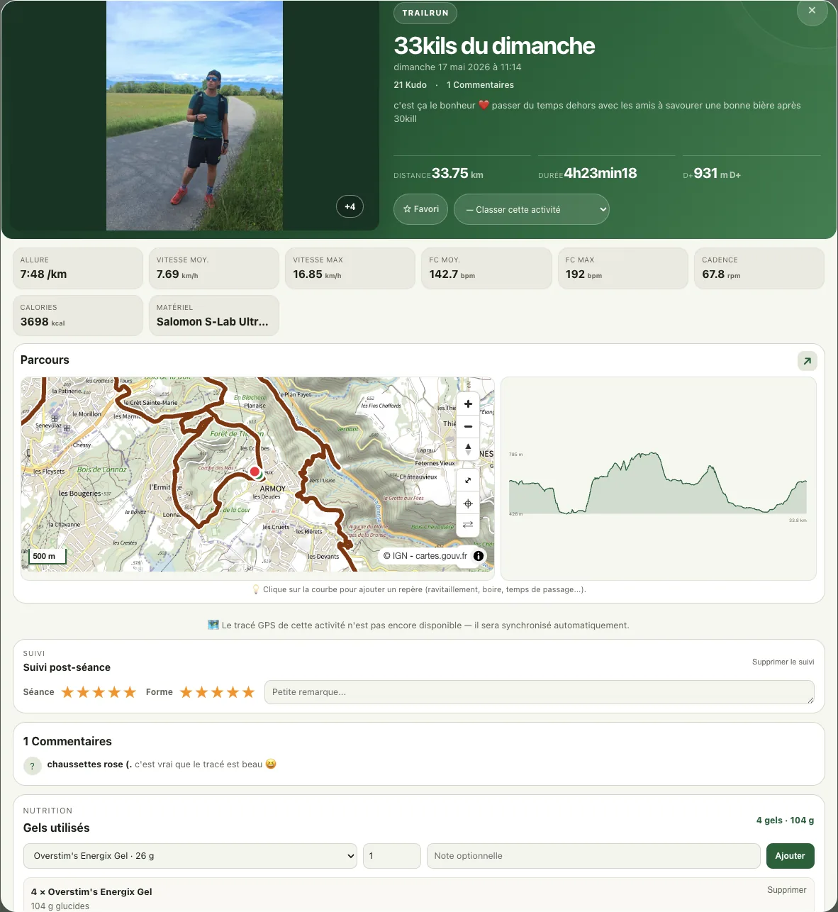
Photos, feelings, statistics and gear build a personal story instead of a simple row of numbers.
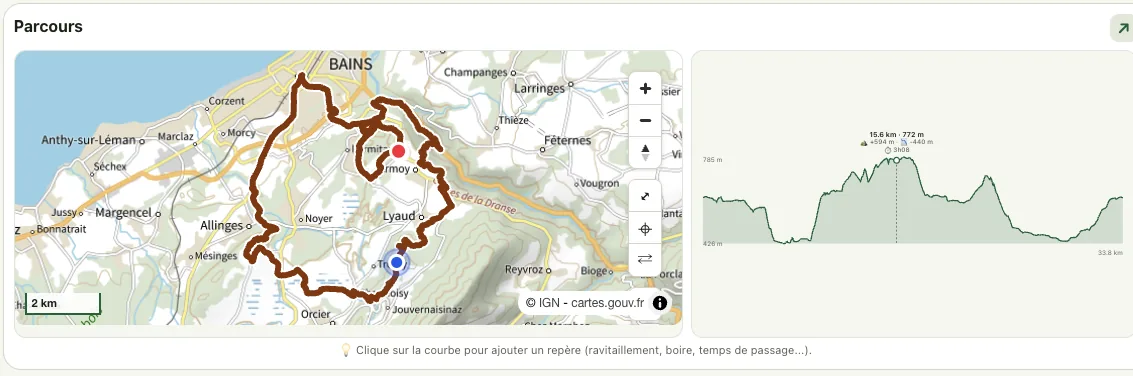
The map and elevation profile stay side by side so climbs, descents and key moments remain easy to revisit.
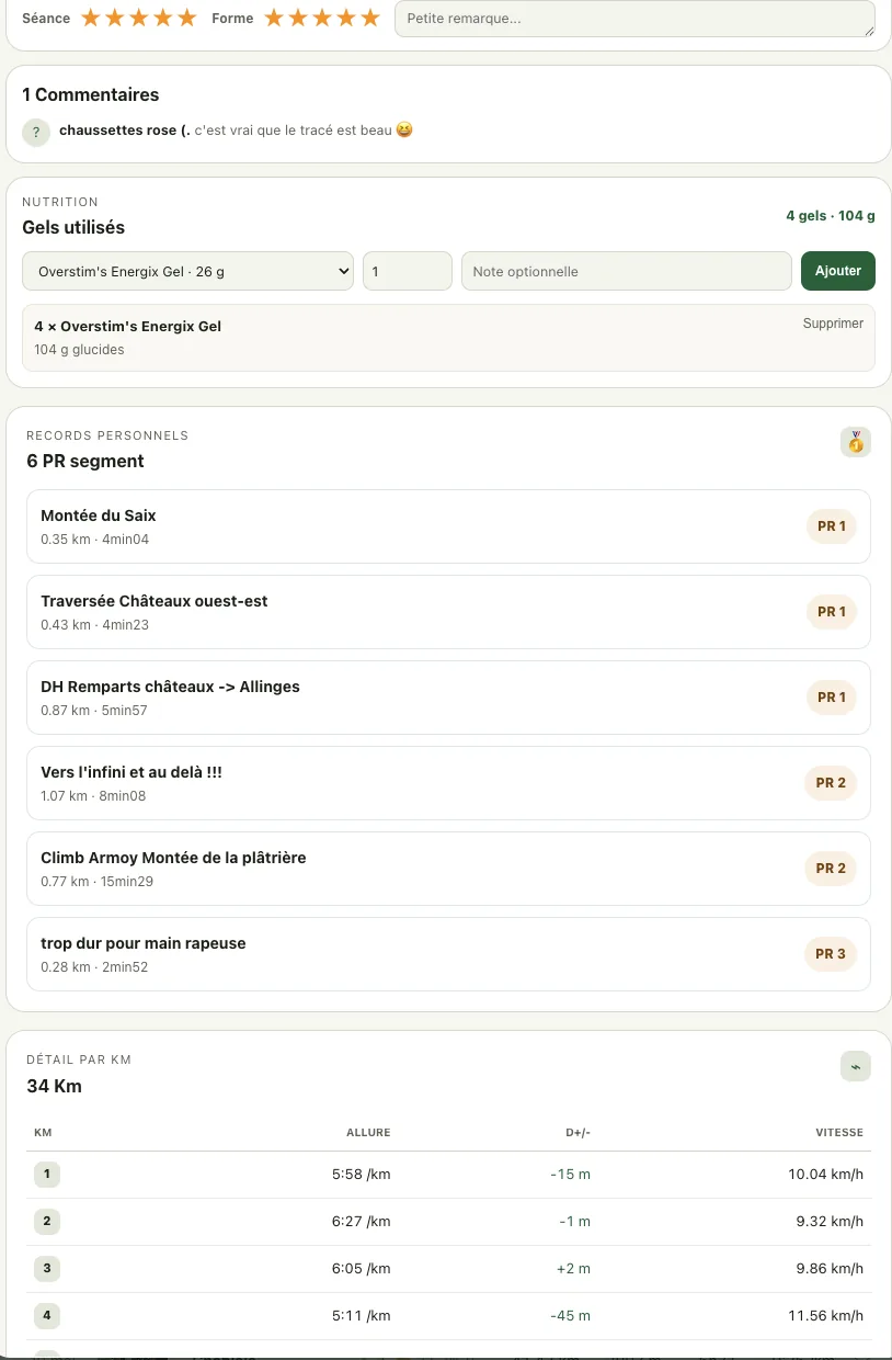
Fuel used, personal records and kilometer splits remain available to understand the outing without reducing it to performance.
Trailboard helps you prepare your own space. Synced data does not become a public ranking or a display for other athletes.
Read terms and privacy information
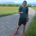
Trailboard came from a simple need: stop approaching long distances with scattered information. The product stays close to terrain, aid stations, timing and race-day decisions.
Meet the creatorYes, you can start for free and test route planning. Any limits or paid offers are explained on the pricing page.
No. Strava is optional. It mainly supports the personal dashboard and activity tracking, not route preparation.
You can use the official track supplied by the organizer. It is often a GPX file, a format that stores the itinerary so Trailboard can show the map, elevation profile and your markers.
No. The main audience is trail and ultra, but the same approach also helps prepare fastpacking, expeditions and long outdoor adventures.
Yes. Trailboard helps organize planned intake around the route and estimated time. The strategy is informational and should be tested in training.
Read the detailed nutrition guideYes. Key information can be exported into a clear dossier with kilometers, elevation, passage times, aid stations and fueling.
Start with your route, add your markers, plan aid stations and leave with a clear race sheet.