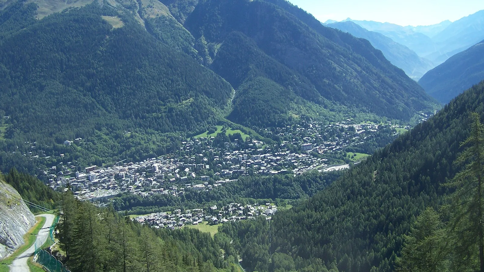
The TOR330 — Tor des Géants® 2026 page brings together published data for this running route.
The route is listed from Courmayeur, Vallée d’Aoste, Italie to Courmayeur, Vallée d’Aoste, Italie, with 336.5 km and 26,182 m D+ on the page.
Listed organiser: VDA Trailers.
Start / area
Courmayeur, Vallée d’Aoste, Italie
Finish
Courmayeur, Vallée d’Aoste, Italie
Edition
2026
Distance
336.5 km
Elevation gain
26,182 m D+
GPX track and calculated values
Calculated values for this track: 337 km of distance calculated from the GPX track · 24,796 m ascent calculated from GPX elevations.
These track measurements remain separate from the organiser's figures and depend on the GPX version and sampling.
Source-page value: 336.5 km; distance calculated from the GPX: 337 km.
Source-page value: 26,182 m ascent; ascent calculated from GPX elevations: 24,796 m.
Documented checkpoints and aid stations
Aid stations or life bases: 48 · listed water points: 6 · checkpoints: 0.
Baite Youlaz · km 12.8
La Thuile · km 19
Rifugio Deffeyes · km 27.9
Bivacco Zappelli · km 32.8
Col de la Crosatie · km 36
Planaval · km 42.8
BaseVita-Valgrisenche · km 48.5
Rifugio Chalet de L'epée · km 54.9
Rhemes-Notre-Dame · km 62.9
Col Entrelor · km 68.3
Eaux Rousses · km 78.3
Col Loson · km 90.6
Rifugio Vittorio Sella · km 95.2
BaseVita-Cogne · km 104
Goilles Dessous · km 109.8
Rifugio Dondena · km 126
Chardonney - Champorcher · km 131.6
Pontboset · km 139.4
BaseVita-Donnas · km 149.8
Perloz · km 155.6
La Sassa · km 162.9
Rifugio Coda · km 167.3
Rifugio della Barma · km 175.6
Lago Chiaro · km 180.9
Colle Della Vecchia · km 184.9
Niel - Dortoir La Gruba · km 190.5
Bleckene - Lòò Superiore · km 196.7
BaseVita-Gressoney · km 203.8
Rifugio Alpenzu · km 208.9
Champoluc · km 220.8
Rifugio Grand Tournalin · km 228.6
BaseVita-Valtournenche · km 237.5
Rifugio Barmasse · km 242.3
Bivacco Vareton · km 247.3
Rifugio Lo Magià · km 255.8
Rifugio Cuney · km 259.3
Bivacco R. Clermont · km 263.8
Oyace · km 274.7
Bruson Arp · km 278.7
Col Brison · km 280.3
BaseVita-Ollomont · km 286.5
Rifugio Champillon · km 291.2
Ponteille · km 297.7
Bosses · km 307.8
Rifugio Frassati · km 316.9
Col Malatrà · km 319
Rifugio Bonatti · km 324.6
Mont de la Saxe · km 330.2
Sources reviewed
Official sources: 2 · sources with a recorded review date: 2. Updates from the organiser always take precedence.
Latest recorded check: 17 September 2026.
Frequently asked questions
Is the TOR330 — Tor des Géants® GPX available?
Yes. The track and its profile can be viewed here, and the file is available as a free download from this page.
Do these details replace the organiser's instructions?
No. This page makes sources easier to consult and separates published data from GPX calculations. Check the latest official instructions before the start.