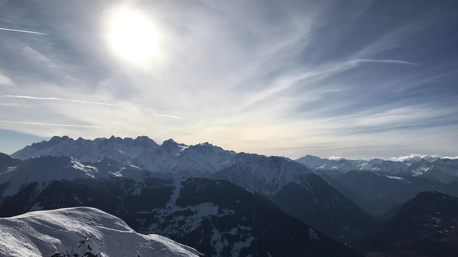
The Verbier Ultra 2026 — étape 2 page brings together published data for this running route.
The route is listed from Cabane Mont-Fort, Suisse to Cabane Brunet, Suisse, with 41.1 km and 2,657 m D+ on the page.
Listed organiser: Association Les Coureurs Ultrasolidaires.
Start / area
Cabane Mont-Fort, Suisse
Finish
Cabane Brunet, Suisse
Edition
2026
Distance
41.1 km
Elevation gain
2,657 m D+
GPX track and calculated values
Calculated values for this track: 41.1 km of distance calculated from the GPX track · 2,927 m ascent calculated from GPX elevations.
These track measurements remain separate from the organiser's figures and depend on the GPX version and sampling.
Sources reviewed
Official sources: 1 · sources with a recorded review date: 1. Updates from the organiser always take precedence.
Latest recorded check: 16 September 2026.
Frequently asked questions
Is the Verbier Ultra 2026 — étape 2 GPX available?
Yes. The track and its profile can be viewed here, and the file is available as a free download from this page.
Do these details replace the organiser's instructions?
No. This page makes sources easier to consult and separates published data from GPX calculations. Check the latest official instructions before the start.